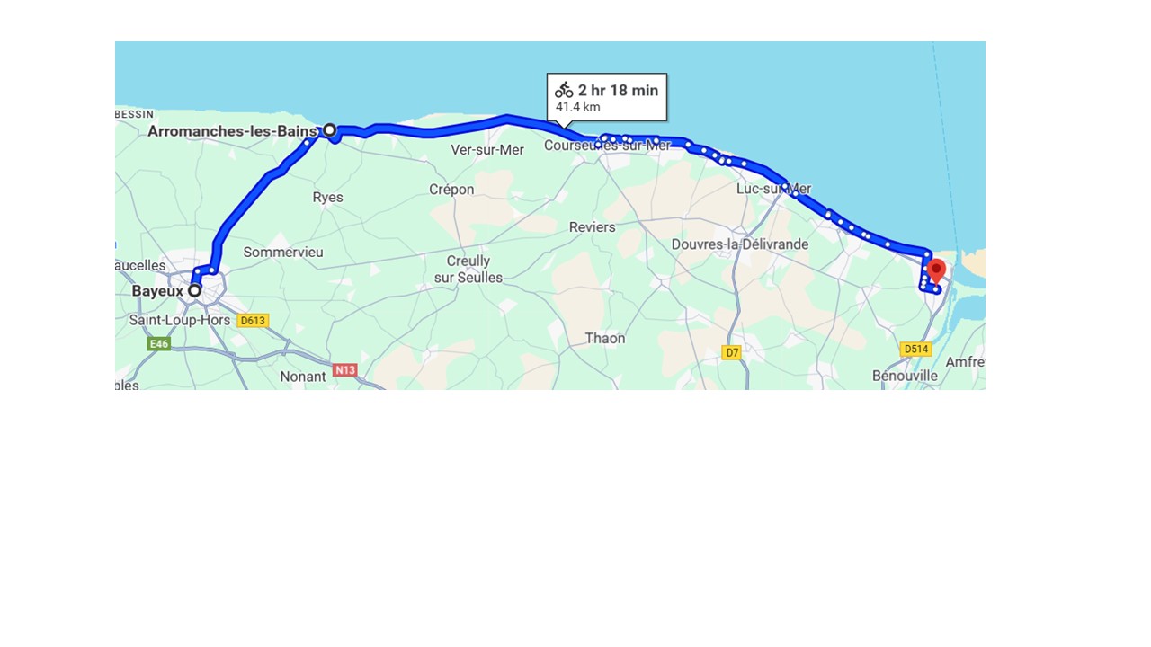
Stage 4: Bayeux to Ouistreham (26 miles)
It's seven miles to the coast at Arromanches, the heart
of D-day memorialisation. It's the site of one of the portable concrete
"mulberry harbours" used for the landings, the remains of which you can
still see in the sea. The main D-Day museum is here, and is well
worth a visit.
Then it's 20 miles along the coast to Ouistreham, with various D-day
memorials on the way. Warning: there's quite a substantial climb coming
out of Arromanches, but after descending to the sea again the rest is
flat.
If you want to catch an afternoon ferry (usually 430) you'll need to
get up early to see the D-Day sites as well, but there's also the
option of getting an overnight ferry and having a longer more relaxed
day.
If you get to Ouistreham early, there are some pleasant
restaurants/cafes opposite the ferryport entrance, so you can relax
until time to board.
Directions: Take D516 to Arromanches, then the coast route to
Ouistreham. The latter is mainly lightly traffic roads, some going
through the small coastal towns, and in some cases decent cycle paths
along longer distance routes. Contrary to the map below, which is for
general orientation, you can't hug the coast all the way, and sometimes
the route is a bit unclear (eg you find yourself in a coastal town but
it's not possible to continue along the seaside route), but as long as
you leave enough time it's not too hard to find the way, and some of
the places you may end up in are pleasant little towns.
When you get to Ouistreham just keep going straight on until you get to
the estuary, which brings you out at the group of cafes very close to
the ferry.
Back to start page
\