Stage 1: Ouistreham to Caen (9 miles)
The start of this trip couldn't be simpler - a
well-marked cycleway along the estuary/river from the sea to
Caen. Most of it is pretty picturesque, especially first thing in
the morning after coming off the ferry. There is one short
semi-industrial stretch, but nothing unpleasant. On the way you pass
the famous Pegasus Bridge, which played a key role in the Normandy
landings (modern version of the bridge not particularly scenic, but
historic spot).
Route directions:
Very simply pick up cycleway signs to Caen immediately after coming off
the ferry, following the right bank of the river. The route (all the
way to Clecy) is part of a very long distance cycleway (to La Rochelle)
called the Velo Francette, whose website has pages on each section.
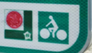
The Velo Francette symbol is this

And the cycle signs tend to look like this.
(To make navigation really easy,
especially through Caen, you can use the GPX tracker on the Velo
Francette site which will show your position relative to the route.)
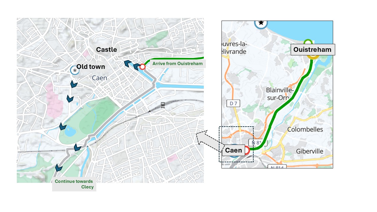
On arrival in Caen, you arrive in a quayside area. To continue straight
through the city follow the route signs. But if you're spending a
bit of time in Caen, which is worthwhile, you should divert, as shown
on map, to a lovely restored old quarter, featuring the "Abbaye des
Hommes", which contains William the Conqueror's tomb and is worth a
visit, and the castle, where there's a splendid walk along the
ramparts. To get there, turn right when you reach a canal perpendicular
to your route, and follow your nose (or Google) initially to the
castle. This old part of the town has plenty of nice places for
lunch. To continue, don't retrace your steps but head for Avenue Albert
Sorel, to join the oval park shown on the map, then double back to the
right onto the cycleway.
Back to start page